15 May 2020
The following is a public announcement from the Infrastructure & Transport Directorate:
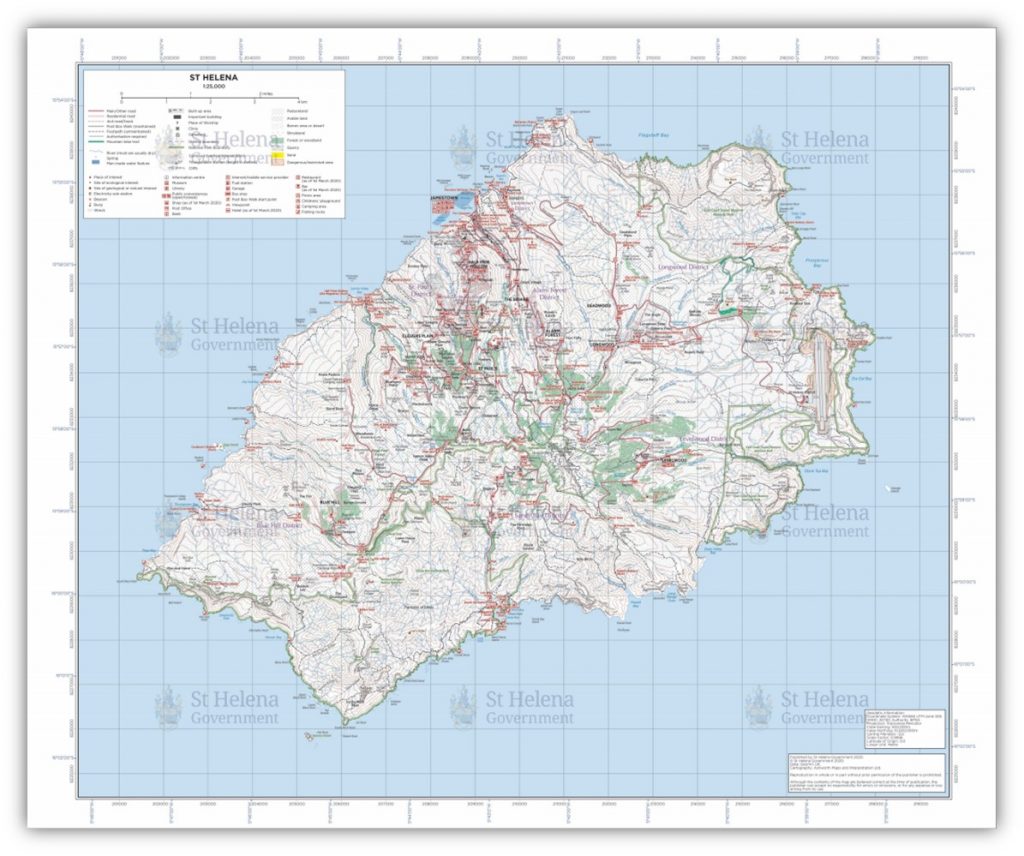
The new St Helena map, to replace the Ordnance Survey map previously produced in 1990, will be displayed in the window of the St Helena Tourist Office, at the Canister, Jamestown, from Monday, 18 May 2020.
Watermarked (low resolution) versions of the map can also be found on the SHG website here.
It is anticipated that high resolution printed versions, available for purchase, will arrive on-Island within the next three to four months.
SHG
15 May 2020
